News Summary
The Dallas-Fort Worth area is under a heat advisory until 8 p.m. Sunday, with temperatures expected to rise above 105 degrees. Meanwhile, Hurricane Erin has rapidly intensified, becoming a Category 3 hurricane and posing risks for flooding and landslides in the Caribbean. Local residents are advised to stay hydrated and minimize outdoor activities as heat index values reach alarming highs and as the hurricane threatens to shift weather patterns along the East Coast.
Dallas-Fort Worth Area Under Heat Advisory as Hurricane Erin Intensifies
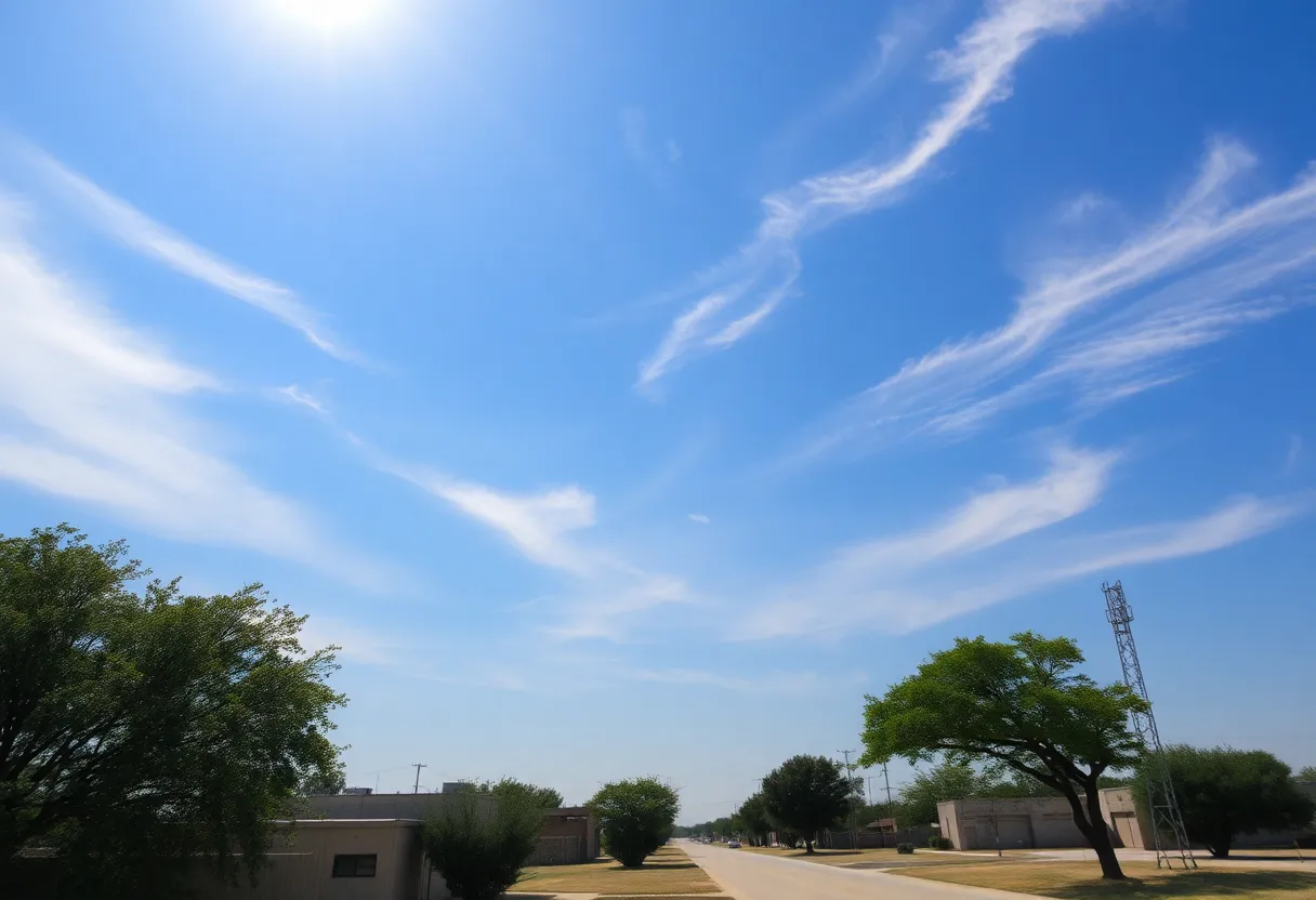
The Dallas-Fort Worth area is currently under a heat advisory that will remain in effect until at least 8 p.m. Sunday. The advisory comes as temperatures soar, with heat index values expected to reach up to 105 degrees in some regions. This extreme heat poses health risks, especially for vulnerable populations.
Residents of the immediate DFW metroplex can expect a slightly drier air mass, leading to a heat index just above 100 degrees. Areas located farther east from the metroplex may feel even hotter, with temperatures feeling like they are approaching the critical mark of 105 degrees.
High temperatures are projected to remain in the mid-to-upper 90s until Tuesday. However, a weak frontal system is expected to move into the area by midweek, which may shift local weather patterns, bringing increased chances for rain and lowering temperatures to the low to mid-90s by the end of the workweek.
Hurricane Erin’s Progression
Meanwhile, Hurricane Erin, which intensified rapidly over the weekend, became the first hurricane of the 2025 Atlantic season. On Saturday, it reached wind speeds of 160 mph, briefly qualifying as a Category 5 hurricane. Currently, Erin is categorized as a Category 3 hurricane and is churning north of Puerto Rico, where it continues to pose a significant risk for flooding and landslides in nearby islands.
Tropical storm warnings have been issued for the Turks and Caicos Islands as Erin’s path heads towards the northeast. The National Hurricane Center anticipates that the hurricane will strengthen back into a Category 4 hurricane by Sunday before making a turn away from the Eastern Seaboard.
While the hurricane poses dangers in the Caribbean, its effects are being felt on the East Coast, where dangerous surf and rip currents are expected to show up by the middle of the week.
Current Weather Conditions in North Texas
In North Texas, areas are currently experiencing muggy weather characterized by morning temperatures in the upper 70s to low 80s, with dew points hovering around the low 70s. This humidity contributes to the elevated heat index. While there is some expectation of relief as dew points are anticipated to fall to the mid-60s, immediate relief is not expected.
Isolated showers have been reported in areas west of the metroplex, including Parker, Jack, and Young counties; however, these showers are minimal with a 10% coverage expected for the day. The forecast for Monday predicts mostly sunny and humid conditions with a high near 98 degrees and a heat index ranging from 105 to 107 degrees.
From Tuesday through Thursday, high temperatures are forecasted to hover around 99 to 101 degrees, with a 20-40% likelihood of showers and thunderstorms during that timeframe. By the end of the week, temperatures are expected to decrease as a cold front approaches the region. Forecasted highs for Friday, Saturday, and Sunday are expected to drop to the mid-90s, bringing potential rain but without any severe weather anticipated.
Residents are advised to stay hydrated and minimize outdoor activities during peak heat hours, especially with the adverse effects from both the heat and the ongoing hurricane developments in the Atlantic.
Deeper Dive: News & Info About This Topic
HERE Resources
Hoax Video Claims Cross Ignited During Mass at Church
Arlington Completes AT&T Stadium Debt Payment Early
Drone Delivery Takes Flight in Texas
Dallas Faces Extreme Heat and Nightclub Closure
Why Construction ERP Systems Are Essential for Dallas Building Firms in 2025
St. Edward’s University Rugby Team Concludes Season with Loss
University Faces Flooding Challenges as Semester Begins
Tesla Receives Permit for Robotaxi Services in Austin
Kerrville Authorities Release Names of Victims from July 4 Flooding
Bank of Texas Announces Leadership Transition
Additional Resources
- NBC DFW Weather
- Fox 4 News: Dallas Weather
- CBS News: Heat Advisory Dallas-Fort Worth
- Dallas News: Heat Advisory Returns
- Star-Telegram: Weather News
- Wikipedia: Heat Wave
- Google Search: Hurricane Erin
- Google Scholar: Heat Advisory Dallas
- Encyclopedia Britannica: Hurricane
- Google News: Dallas Fort Worth Weather

Author: STAFF HERE DALLAS WRITER
The DALLAS STAFF WRITER represents the experienced team at HEREDallas.com, your go-to source for actionable local news and information in Dallas, Dallas County, and beyond. Specializing in "news you can use," we cover essential topics like product reviews for personal and business needs, local business directories, politics, real estate trends, neighborhood insights, and state news affecting the area—with deep expertise drawn from years of dedicated reporting and strong community input, including local press releases and business updates. We deliver top reporting on high-value events such as the State Fair of Texas, Deep Ellum Arts Festival, and Dallas International Film Festival. Our coverage extends to key organizations like the Dallas Regional Chamber and United Way of Metropolitan Dallas, plus leading businesses in telecommunications, aviation, and semiconductors that power the local economy such as AT&T, Southwest Airlines, and Texas Instruments. As part of the broader HERE network, including HEREAustinTX.com, HERECollegeStation.com, HEREHouston.com, and HERESanAntonio.com, we provide comprehensive, credible insights into Texas's dynamic landscape.